UMBC Students Present EJJI-Inspired GIS Research
UMBC Students Present EJJI-Inspired GIS Research
By Rona Kobell
Every day at EJJI, wonderful things happen. But yesterday was among the most wonderful.
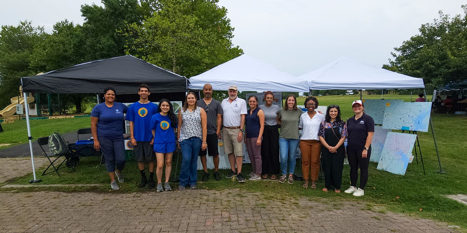
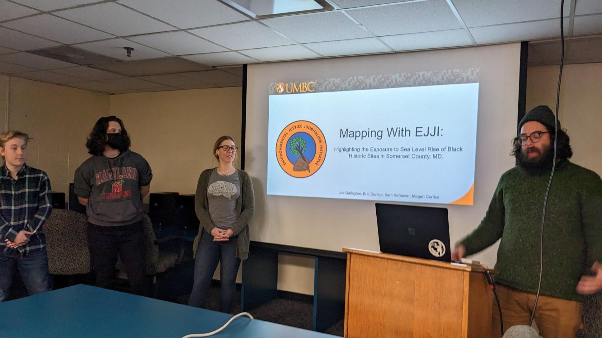
We – co-founders Rona Kobell and Donzell Brown – were invited to Maggie Holland’s class to view final projects in geography and information systems. Holland is the undergraduate program director for the GIS department at University of Maryland, Baltimore County. This semester, we have been working with her students on real-time, real-world problems that could use some data and mapping solutions.
Joining us were Ethan Abbott of the South Baltimore Gateway Partnership and Chris Firehock of the Baltimore City Office of the Mayor. They were interested in a GIS project the class had done on the Middle Branch of the Patapsco River, which is being re-imagined under a major project. (EJJI is a partner in that also.) Also there was Katie Miller of Centros de los Derechos de Migrante, Inc., which protects the rights of migrant workers. Miller was there because the students had undertaken a GIS project based on data she provided.
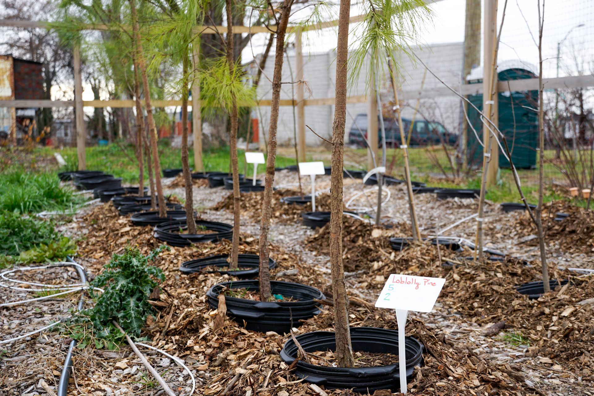
The EJJI-influenced GIS project concerned our work in Somerset County on the Eastern Shore, where we are completing a documentary on a Black community that is losing its land and culture due to sea level rise and a failure to protect its historic resources. The students asked us if GIS research could answer any questions. We thought it could perhaps map the historic communities in the county and determine which of them were protected by either the state or federal government.
Immediately, the group encountered the same problems we faced when researching this topic. The data were not all in one place. The historic protections are not binding. Consistency is hard to come by. But they did manage to overlay a map of the historic sites with sea-level rise projections so we could see many of the county’s Black historic sites will be underwater if sea level rise goes as predicted.
Despite only having a month to put together the data sets and the narrative, the students’ final project was nothing short of amazing. Facts on the ground always tell a story. The data can lead if we let it. The students are still tweaking their projects but we will post them when they are complete.
Thank you so much to Prof. Holland for letting us be part of this work. To be continued, for sure. There are many more stories for GIS to tell.